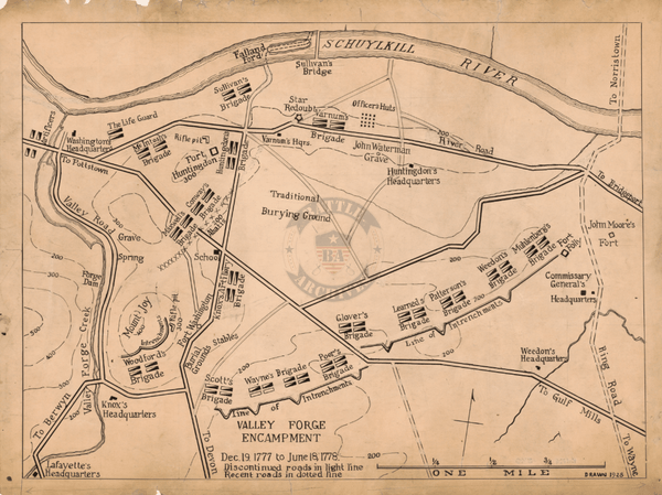
Normandy Ste. Mere-Eglise 1944 Defensive Battle Map
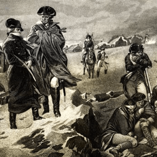
Ste. Mere-Eglise sits right behind the landings beaches Omaha and Utah which made it of strategic significance to both Allied and German forces on D-Day. Fighting erupted early on the 6 June as American paratroopers landed in the town. The town was made famous in the movie "The Longest Day" as it depicted 82nd Airborne soldier John Steele whose parachute got caught on the church spire and watched the battle stuck on the roof playing dead. The town claims to be the first town in France liberated by the Allies.
This map was created on 19 May 1944 and originally designated as Top Secret. Potential defensive trenches and weaponry are shown.
Result: Allied Victory
Created/Published: 1944
Dimensions (Width x Height): 19.3x14.1
Our printing is archive-quality.
Each map is printed using the finest materials and methods. Your map will be handled with white gloves from start to finish. We use the Giclee printing method on the finest paper, which produces a clear, extremely detailed, durable map that is perfect to be proudly displayed in your home or office.
About our framing:
- Non-glare acrylic to reduce reflection
- Dry mount to ensure your map is smooth and without wrinkles
- 1.5 inch, 4-ply white mat to accentuate your map
- Black, light walnut, and natural frame color options to match any room
- Wire mounting
- Please note that we cannot refund or return custom framed maps. We can replace a damaged frame. If your frame is damaged, please use the Contact Us or email customercare@battlearchives.com
Digital watermark does not appear on your purchased map