


Shenandoah Valley Campaign 1864 Battle Map
The Shenandoah Valley Campaign took place from spring to fall 1864. The Shenandoah Valley was of strategic importance to the South due to its transportation network, agricultural production, and natural resources needed to make war.
This map shows the movements of the two armies from 29 July to 8 August. In the northeastern corner is Chambersburg, PA, where the Confederates burned the town after the townspeople could not raise the demanded $100,000 in gold $500,000 in Union currency to save it. In the bottom left is The Battle of Moorefield on 7 August, the final battle during the period covered by this map.
Created/Published: 1864
Dimensions (Width x Height): 14x11
Each map is printed using the finest materials and methods. Your map will be handled with white gloves from start to finish. We use the Giclee printing method on Hahnemuhle paper, which produces a clear, extremely detailed, durable map that is perfect to be proudly displayed in your home or office.
Digital watermark does not appear on your purchased map.
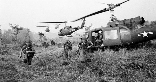
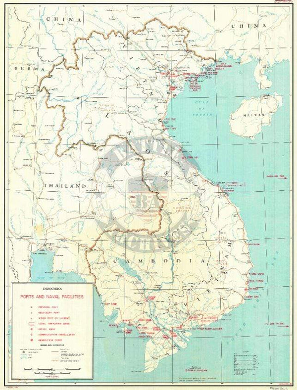
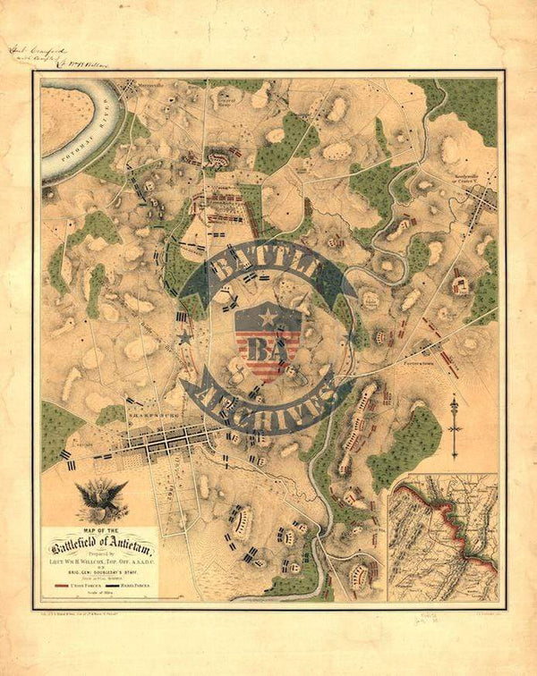
Related Products
Vietnam Ports and Naval Facilities

Antietam Color Battle Map

An Nasiriyah, Iraq Topographical Map


Okinawa Landing Beaches Planning Map


