Skip to content
Home
War Maps
Our Story
FAQ
Shipping Info
Privacy
Blogs
  • Search
Cart

Spend $50 more and get free shipping!

Your cart is empty

Last Day for Print Orders to Make it By Christmas is December 16 (Nov 29 for Framed)

  • HomeHome
  • War MapsWar Maps
  • Our StoryOur Story
  • FAQFAQ
  • Shipping InfoShipping Info
  • Privacy Privacy
  • BlogsBlogs
Battle Archives
  • 0

War of 1812 Battle Maps

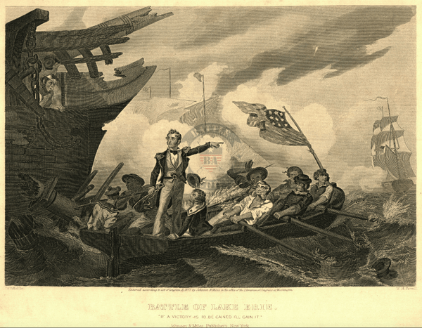
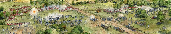
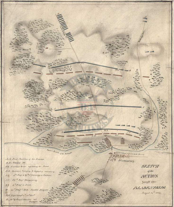
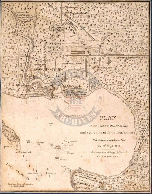
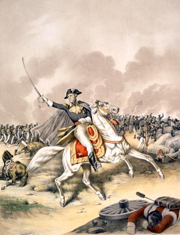
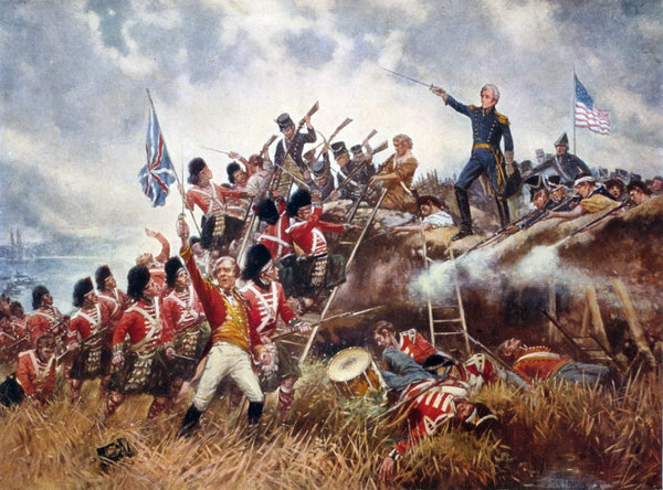
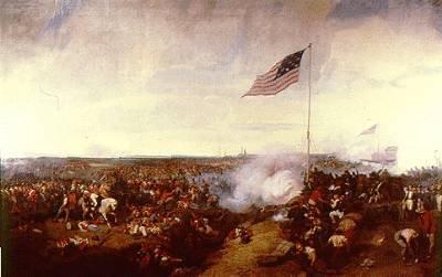
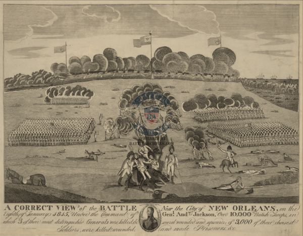
The War of 1812 was fought between the United States and Great Britain from 1812 to 1815. The resentment by the US towards Britain over maritime rights such as impressment led to the declaration of war from Congress. In 1814, the British captured and burned Washington, D.C. The war ended on paper on 24 December 1814 with the Treaty of Ghent, but fighting continued into 1815 as it took months for the news to reach America. The Treaty of Ghent returned all territory to their prewar borders and ended the longtime American goal of conquering Canada.

Result: Inconclusive

Lake Erie Battle with Admiral Perry Drawing

$69
Battle Archives Map Lake Erie

Bladensburg, Maryland British Made Battle Map

$75
Battle Archives Map Bladensburg, Maryland

Plattsburg, New York and Lake Champlain 1814 Battle Map

$79
Battle Archives Map Plattsburg, New York

New Orleans, Louisiana 23 December Battle Map

$79
Battle Archives Map New Orleans, Louisiana #3

New Orleans, Louisiana Victory Battle Map

$79
Battle Archives Map New Orleans, Louisiana #1

New Orleans, Louisiana Battle Drawing

$79
Battle Archives Map New Orleans, Louisiana #2

Fort McHenry, Maryland 1857 Drawing

$79
Battle Archives Map Fort McHenry, Maryland

Fort McHenry, Maryland High Detail Drawing

$59
Battle Archives Map Fort McHenry, Maryland High Detail Drawing

Mobile Point, Alabama (Fort Bowyer)1815 Battle Map

$79
Battle Archives Map Mobile Point, Alabama #1 (Fort Bowyer)

Mobile Point, Alabama Fort Construction Map

$79
Battle Archives Map Mobile Point, Alabama #2

Logo

Letter From the Founder:

Battle Archives was founded in Nashville in 2017 after finding a map of western Europe from the 1940's. This was no ordinary map, but rather the one my grandfather had in his flight suit during his missions over Europe in his B-17 as a co-pilot. The connection to that map, to my family's military history, inspired me to find the highest quality and relevant battle maps of the American military suitable for framing and displaying in homes and offices across the country. We use the highest quality paper and printing methods to produce these brilliant visual connections to America's past and the veterans who fought in those wars.-Mike

collection

  • American Civil War
  • World War 2
  • View All Categories
  • Korean War
  • Revolutionary War
  • Spanish American War
  • War of 1812

Main menu

  • Home
  • War Maps
  • Our Story
  • FAQ
  • Shipping Info
  • Privacy
  • Blogs
© Battle Archives

  • Amazon
  • American Express
  • Apple Pay
  • Diners Club
  • Discover
  • Google Pay
  • Mastercard
  • PayPal
  • Shop Pay
  • Visa