Jalalabad, Afghanistan 2010 City Topographical Map
$79
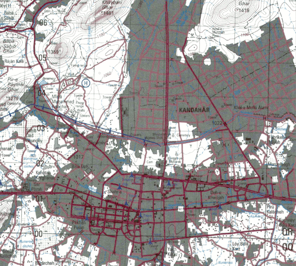
Jalalabad, Afghanistan is a major city in eastern Afghanistan. It lies approximately halfway between Kabul to the west and Peshawar, Pakistan to the east. Jalalabad plays a vital role in the movement of people and material between Afghanistan and Pakistan.
Created/Published: 2010
Scale: 50,000
Dimensions (Width x Height): 23x26.5
Each map is printed using the finest materials and methods. Your map will be handled with white gloves from start to finish. We use the Giclee printing method on Hahnemuhle paper, which produces a clear, extremely detailed, durable map that is perfect to be proudly displayed in your home or office.
Digital watermark does not appear on your purchased map.