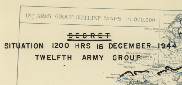
Ardennes Counteroffensive (Battle of the Bulge) with Topography Battle Map
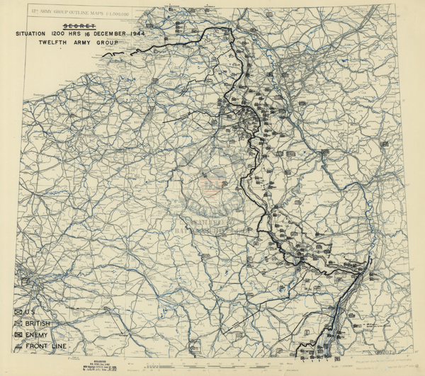
The Ardennes Counteroffensive, also known as The Battle of the Bulge, was fought December 1944 to January 1945. It was the last offensive of the Germans in the West and their last attempt to stave off defeat. The goal of the offensive was to drive to the Meuse River and eventually onto Antwerp. With that the Allies would be split with the British to the north and the Americans to the south. The thinking went the Allies would be more likely to agree to end hostilities in the West, allowing the Germans to focus completely on the Soviets in the East. The Germans had initial success, but were eventually stopped and pushed back to the original lines by the end of January, 1945.
This map is very highly detailed in terms of topography for the battle.
Result: Allied Victory
Created/Published: Unknown, most likely 1945
Dimensions (Width x Height): 17.1x14.2
Each map is printed using the finest materials and methods. Your map will be handled with white gloves from start to finish. We use the Giclee printing method on Hahnemule paper, which produces a clear, extremely detailed, durable map that is perfect to be proudly displayed in your home or office.
Digital watermark does not appear on your purchased map.