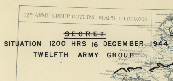
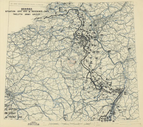
Army Air Forces Attacks of 25+ Tons in February 1945 Battle Map
$79
Map showing the "Attacks of 25 Tons and Over by Allied Tactical Air Forces During February 1945." Attacks as far northwest as Amsterdam and as far southeast as between Nuremberg/Munich area.
Created: 1945
Scale: 1,250,000
Dimensions (Width x Height): 27.3x19.8
Each map is printed using the finest materials and methods. Your map will be handled with white gloves from start to finish. We use the Giclee printing method on Hahnemule paper, which produces a clear, extremely detailed, durable map that is perfect to be proudly displayed in your home or office.
Digital watermark does not appear on your purchased map.