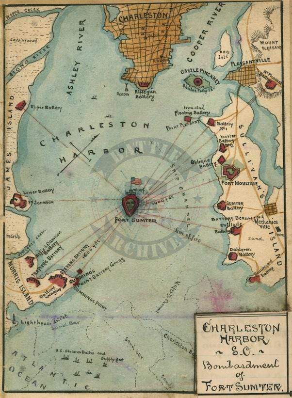


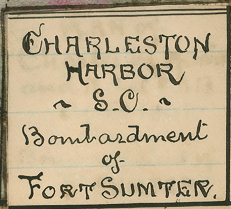


Fort Sumter, South Carolina Hand Drawn Harbor Battle Map
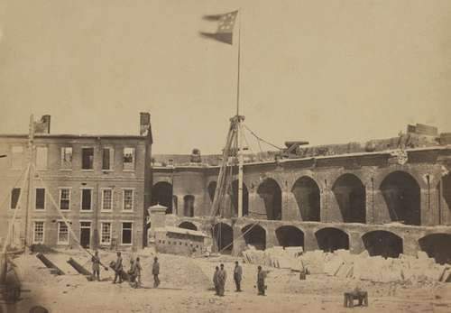
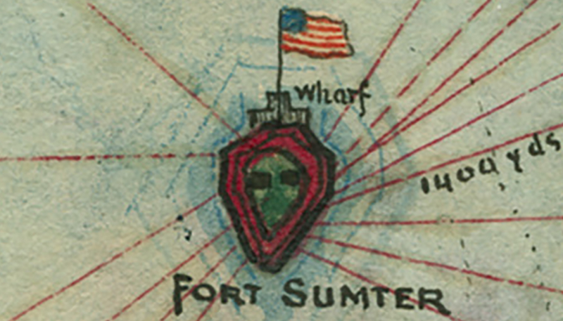
Located in Charleston Harbor where the first shots of the Civil War were fired on 12 April 1861. The fort was surrendered to the Confederacy the following day and stayed in Confederate hands until 1865.
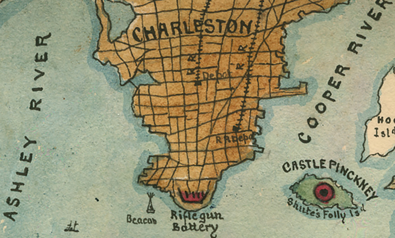
This map is a hand drawing of the harbor with references of the distances between Sumter and other defensive points around the harbor.
Result: Confederate Victory (1861 and 1863)
Created/Published: Unknown
Dimensions (Width x Height): 12x16.6
Our printing is archive-quality.
Each map is printed using the finest materials and methods. Your map will be handled with white gloves from start to finish. We use the Giclee printing method on the finest paper, which produces a clear, extremely detailed, durable map that is perfect to be proudly displayed in your home or office.
About our framing:
- Non-glare acrylic to reduce reflection
- Dry mount to ensure your map is smooth and without wrinkles
- 1.5 inch, 4-ply white mat to accentuate your map
- Black, light walnut, and natural frame color options to match any room
- Wire mounting
- Please note that we cannot refund or return custom framed maps. We can replace a damaged frame. If your frame is damaged, please use the Contact Us or email customercare@battlearchives.com
Digital watermark does not appear on your purchased map