Iwo Jima Defensive Positions Battle Map in Japanese
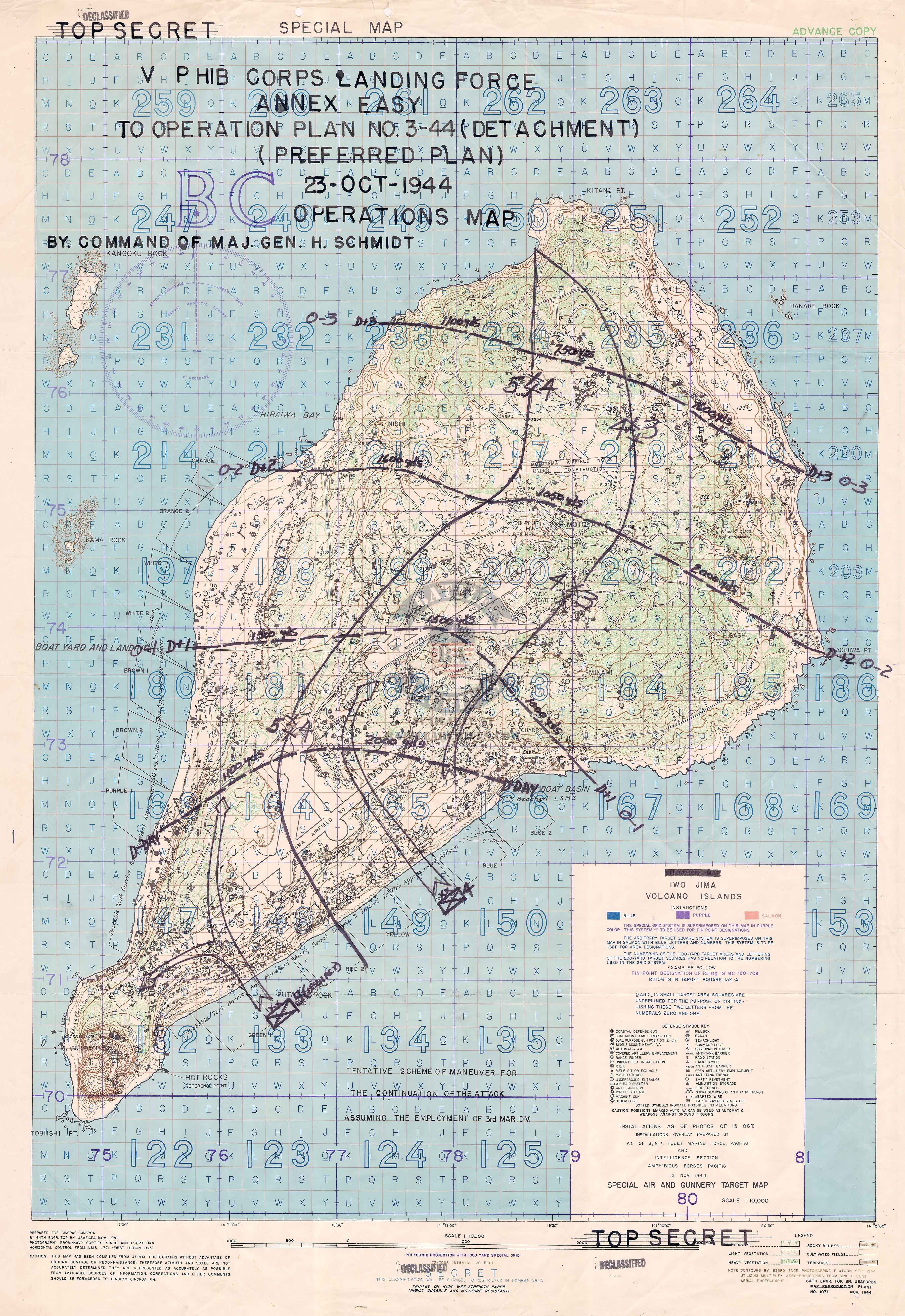
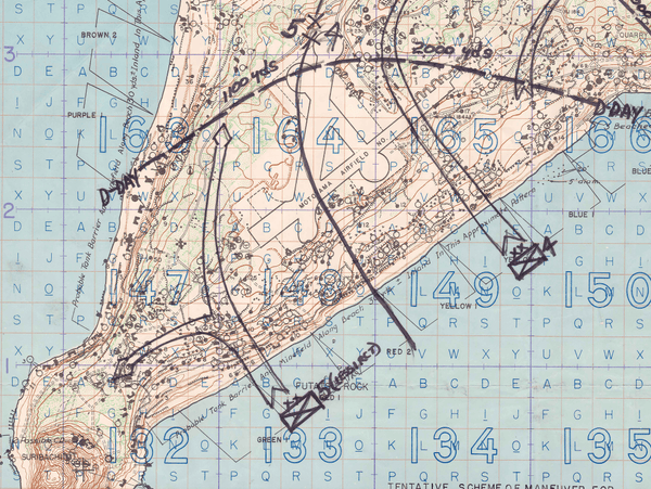
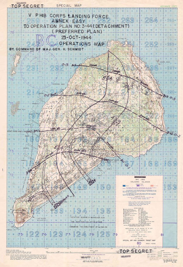
The Battle of Iwo Jima was fought from 19 February to 26 March 1945 in the Volcano Islands (more broadly the Bonin Islands), about 750 miles (1,200 kilometers) south of Tokyo. The battle was fought entirely by the US Marines and Navy. Iwo Jima has the distinction of causing more casualties for the Americans than the Japanese. Iwo Jima has been immortalized as Joe Rosenthal took one of the most famous pictures in the history of the world, "Raising the Flag on Iwo Jima."
This map was created by the Japanese showing their defensive positions.
Result: American Victory
Created/Published: Unknown
Scale: Unknown
Dimensions (Width x Height): 19.7x27.6
Each map is printed using the finest materials and methods. Your map will be handled with white gloves from start to finish. We use the Giclee printing method on Hahnemuhle paper, which produces a clear, extremely detailed, durable map that is perfect to be proudly displayed in your home or office.
Digital watermark does not appear on your purchased map.