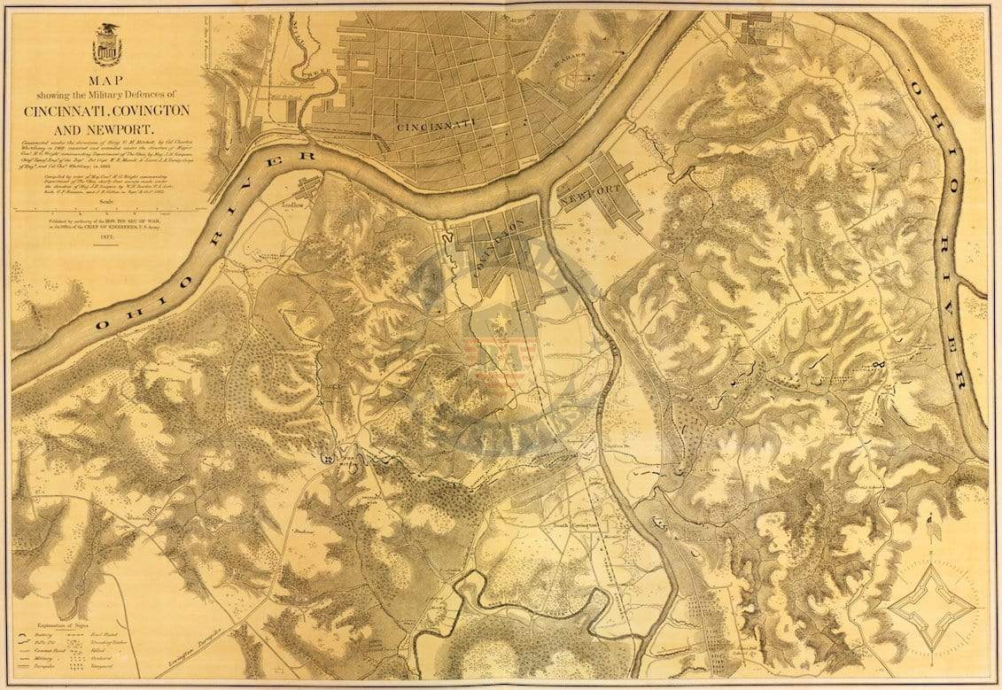
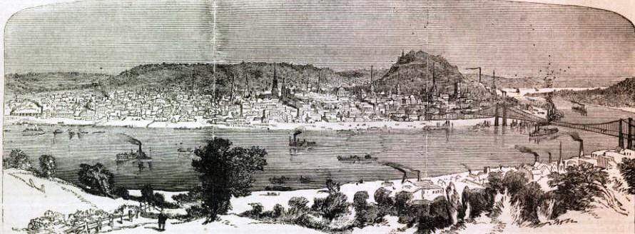
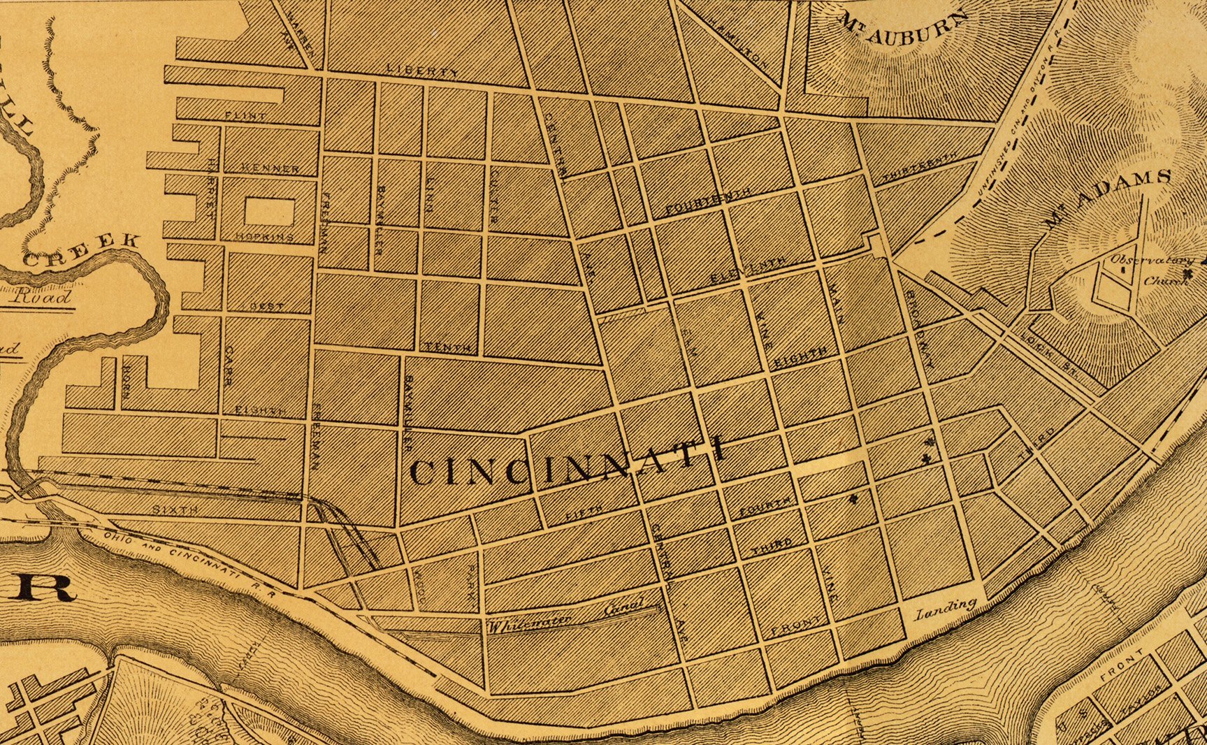
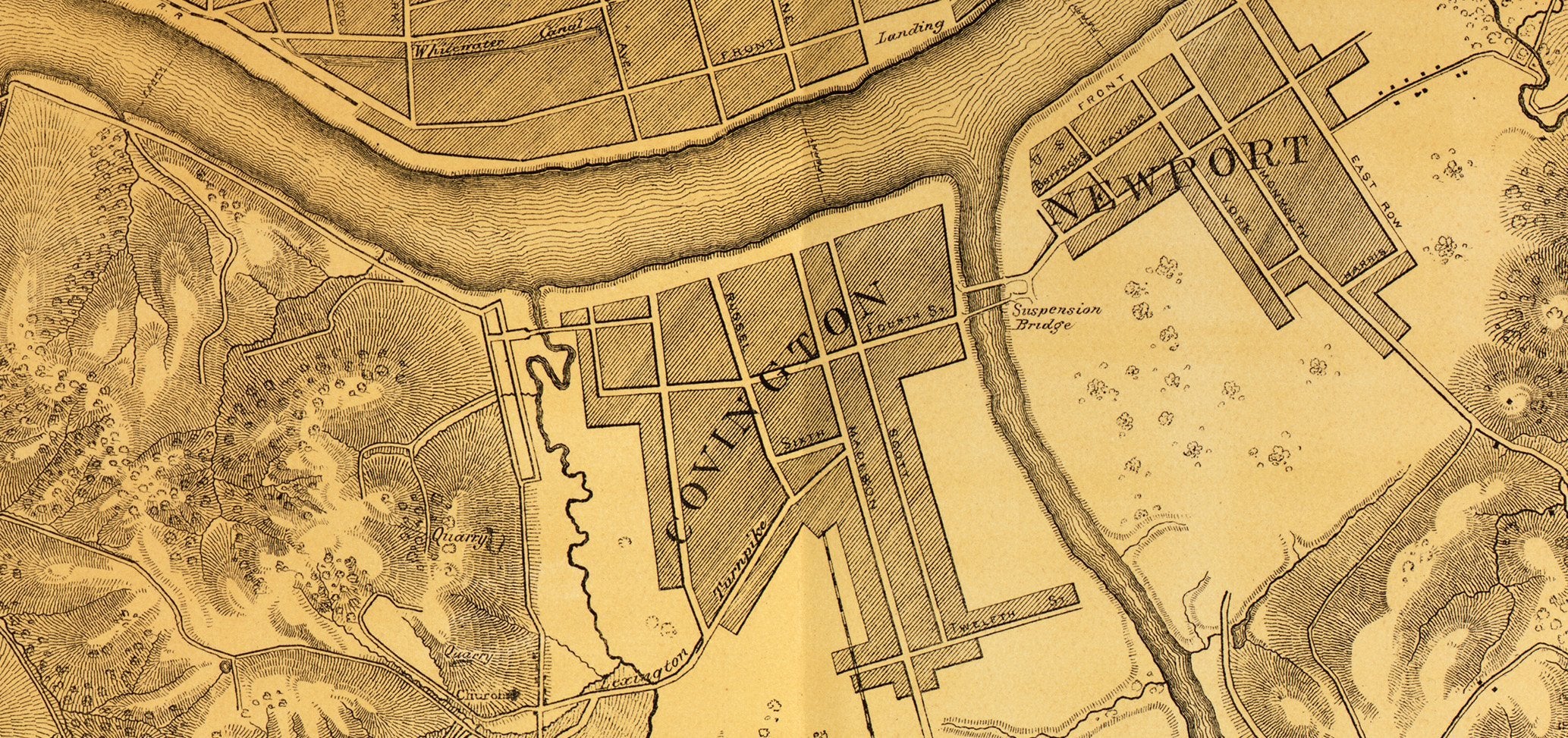
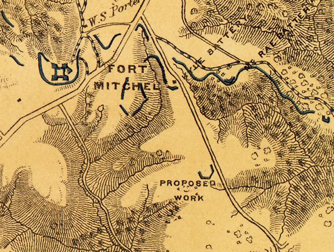
Cincinnati, Ohio and Covington, Kentucky Defensive Perimeter Map
Union map showing the military defenses of Cincinnati, Ohio and Covington, Kentucky.
Created/Published: 1877
Scale: 16,000
Dimensions (Width x Height): 34.4x24
Each map is printed using the finest materials and methods. Your map will be handled with white gloves from start to finish. We use the Giclee printing method on Hahnemuhle paper, which produces a clear, extremely detailed, durable map that is perfect to be proudly displayed in your home or office.
Digital watermark does not appear on your purchased map.
Cincinnati, Ohio and Covington, Kentucky Defensive Perimeter Map
Sale price$69
Choose options
