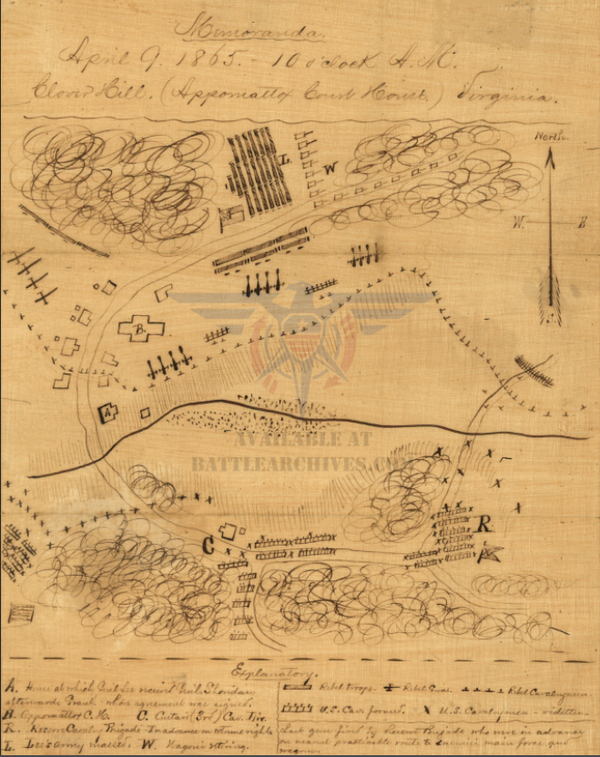
Gettysburg Battle Map with Focus on Confederate Commanders
The Battle of Gettysburg, the most consequential battle of the Civil War, was fought from 1-3 July 1863 outside the town of Gettysburg, in southern Pennsylvania. The Army of Northern Virginia led by Robert E. Lee, Longstreet, and Stuart with roughly 75,000 men were making their second attempt in invading the North (Maryland Campaign of 1862). The Army of the Potomac was 100,000 strong and was led by Meade, who was recently installed as commander after President Lincoln fired Hooker three days prior to the battle commencing. The outcome of the battle was still in doubt on 3 July, considered the “High Water Mark of the Confederacy” as the closest the South ever got to winning the war. The Battle of Gettysburg, with an estimated 45,000-51,000 casualties, is the bloodiest battle in American history.
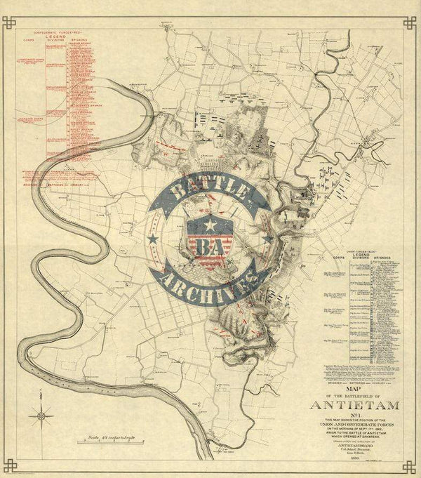
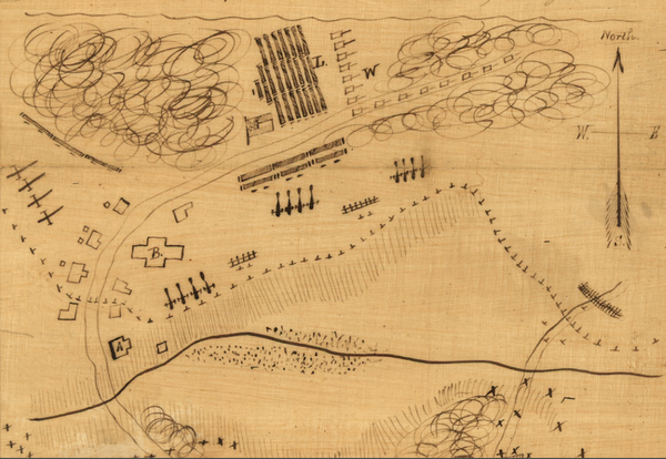
Map showing great detail of the Confederate commanders, going down to the brigade level. This map also shows more detail to where the wooded areas on the battlefield were. Union defensive lines are very precise.
Result: Union Victory
Created/Published: 1864
Dimensions (Width x Height): 11.6x18
Each map is printed using the finest materials and methods. Your map will be handled with white gloves from start to finish. We use the Giclee printing method on Hahnemuhle paper, which produces a clear, extremely detailed, durable map that is perfect to be proudly displayed in your home or office.
Digital watermark does not appear on your purchased map.