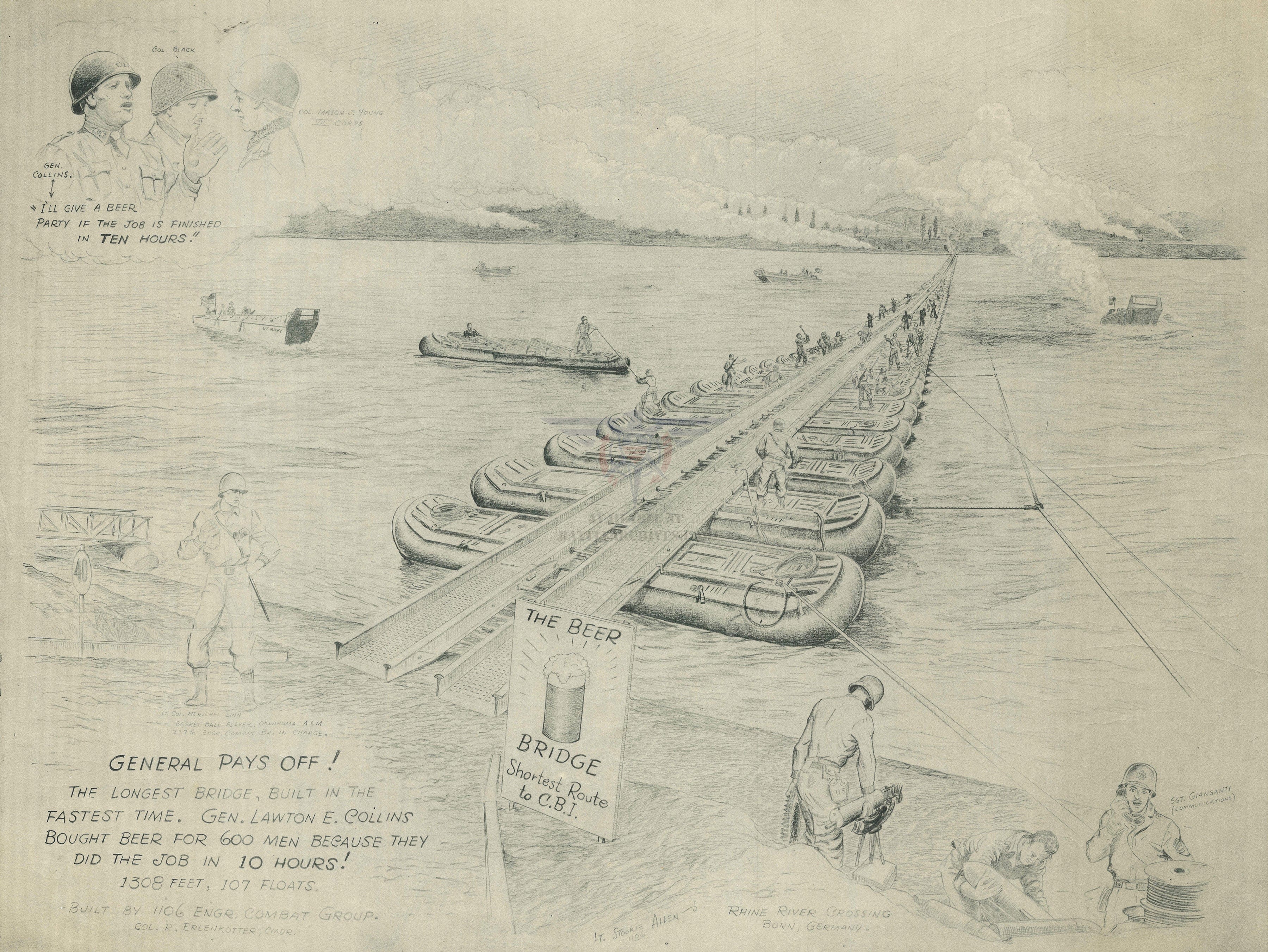
The Beer Bridge (Crossing the Rhine at Bonn) Drawing
The “Beer Bridge” – Rhine River Crossing Drawing
This detailed hand-drawn illustration commemorates one of the most remarkable engineering feats of World War II—the rapid construction of a pontoon bridge across the Rhine River near Bonn, Germany. Nicknamed the “Beer Bridge,” the structure was built in record time by American combat engineers, earning them a celebratory reward from General Lawton E. Collins. The drawing captures both the technical achievement and the human story behind it.
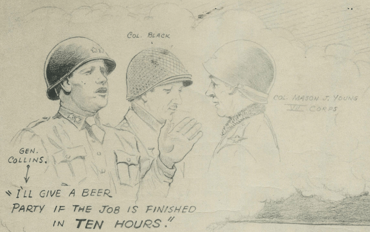
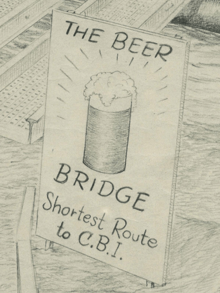
Historical Context During the Allied advance into Germany in 1945, crossing the Rhine was a decisive objective. Combat engineers were tasked with constructing floating pontoon bridges under immense pressure. According to the inscription on this drawing, the 1308-foot bridge—supported by 107 floats—was completed in just 10 hours. True to his word, General Collins reportedly bought beer for the 600 men who accomplished the feat.
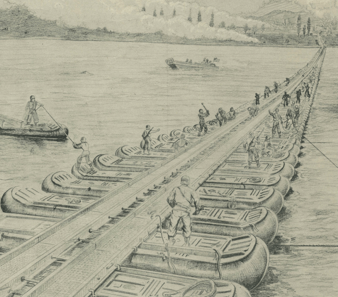
The Map’s Features The illustration shows the pontoon floats aligned across the river, engineers working along the span, support boats in the water, and a long continuous roadway stretching toward the far bank. Handwritten notes and labeled figures—including senior officers—add personality and authenticity. The pencil style gives the piece an archival, field-report quality, blending art with operational history.
Historical Significance Beyond its humor and nickname, the Beer Bridge represents the speed, ingenuity, and logistical power of Allied forces in 1945. Temporary bridges like this allowed armor and infantry to push deeper into Germany, accelerating the collapse of Nazi resistance. This drawing preserves that moment—not just as a tactical success, but as a story of morale, camaraderie, and engineering excellence.
Museum-Quality Reproduction This is a high-quality reproduction of the original wartime drawing, professionally printed on archival Hahnemühle paper using the Giclée printing process to preserve fine pencil detail, shading, and handwritten annotations for long-term display.
Perfect For:
• Combat engineer veterans and their families
• World War II historians and collectors
• Military engineering professionals
• Offices, studies, and veteran memorial displays
• Gifts honoring service and ingenuity
Specifications:
• Created/Published: World War II era (exact date unknown)
• Style: Hand-drawn military engineering illustration
• Conflict: World War II – Western Front
• Product Type: High-Quality Reproduction Print
Dimensions (Width x Height): 26.1 x 19.6
Each map is printed using the finest materials and methods. Your map will be handled with white gloves from start to finish. We use the Giclée printing method on Hahnemühle paper, which produces a clear, extremely detailed, durable map perfect for proud display in your home or office.
Choose options
