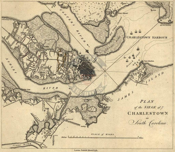
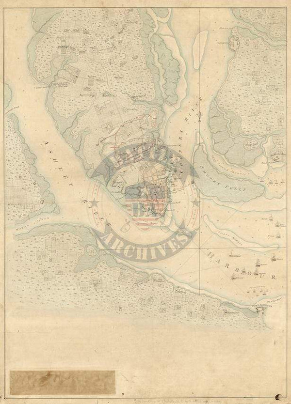
Charles Town, South Carolina Battle Map with Detailed Legend
The Siege of Charles Town, South Carolina (the present day name Charleston was adopted in 1783) occurred in spring 1780 in which the British handed the Americans their largest defeat of the entire war. Over 3,300 men surrendered and left the Americans without an army in the southern colonies.
This color and highly detailed British map includes both British and American ships as well as an expansive list of units and resources used by both sides during the siege.
Result: British Victory
Published: 1780
Scale: 11,800
Dimensions (Width x Height): 24x32.2
Each map is printed using the finest materials and methods. Your map will be handled with white gloves from start to finish. We use the Giclee printing method on Hahnemuhle paper, which produces a clear, extremely detailed, durable map that is perfect to be proudly displayed in your home or office.
Digital watermark does not appear on your purchased map.