European Theater of Operations Map from 1939-1944
$79
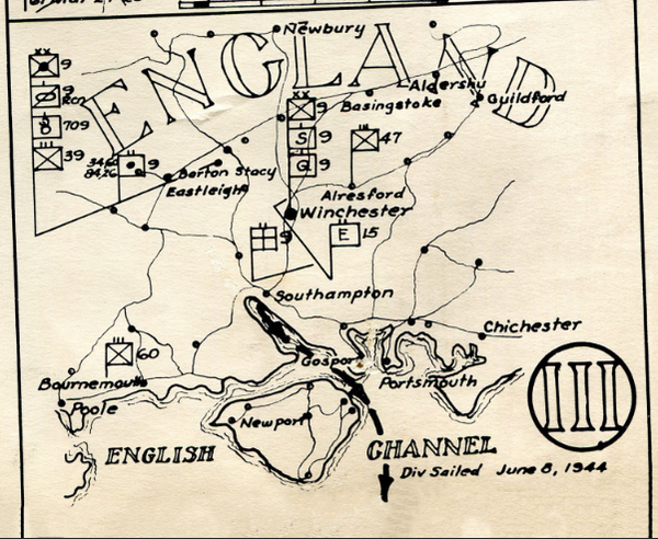
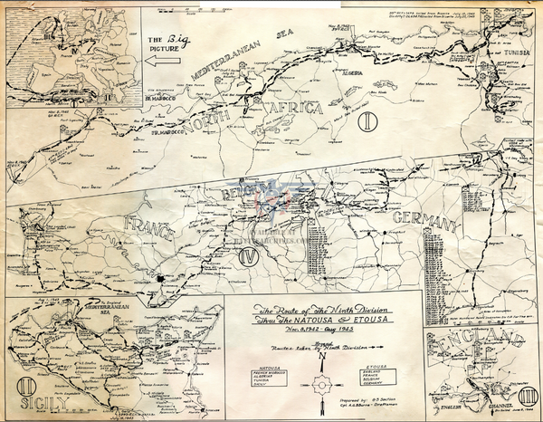
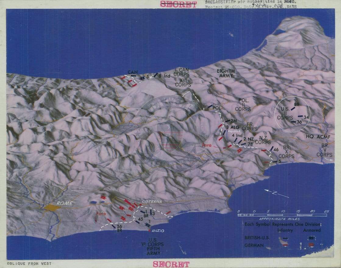
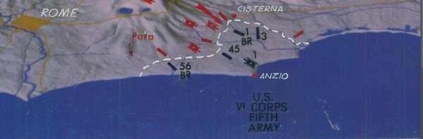
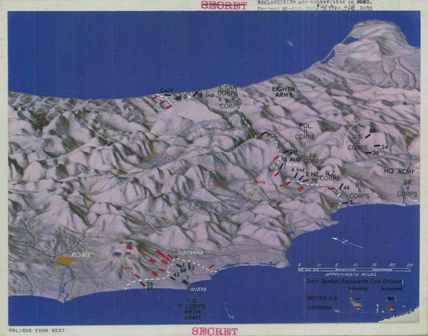
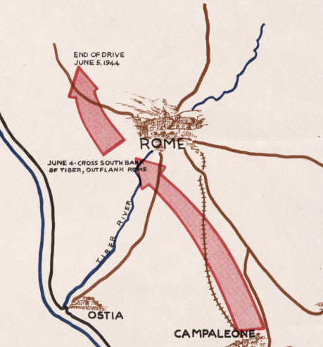
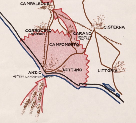
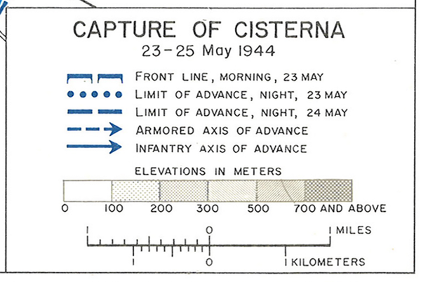
Colorful map showing World War 2 into 1944. The progress of the Allies show 1943, but there are references to events in spring 1944. It was actually created as a calendar, complete with days and months of 1944.
Created/Published: 1944
Dimensions (Width x Height): 26.6x20.2
Each map is printed using the finest materials and methods. Your map will be handled with white gloves from start to finish. We use the Giclee printing method on Hahnemuhle paper, which produces a clear, extremely detailed, durable map that is perfect to be proudly displayed in your home or office.
Digital watermark does not appear on your purchased map.