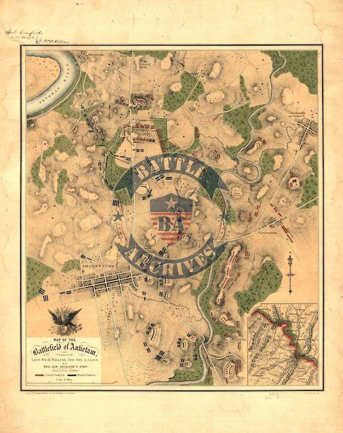


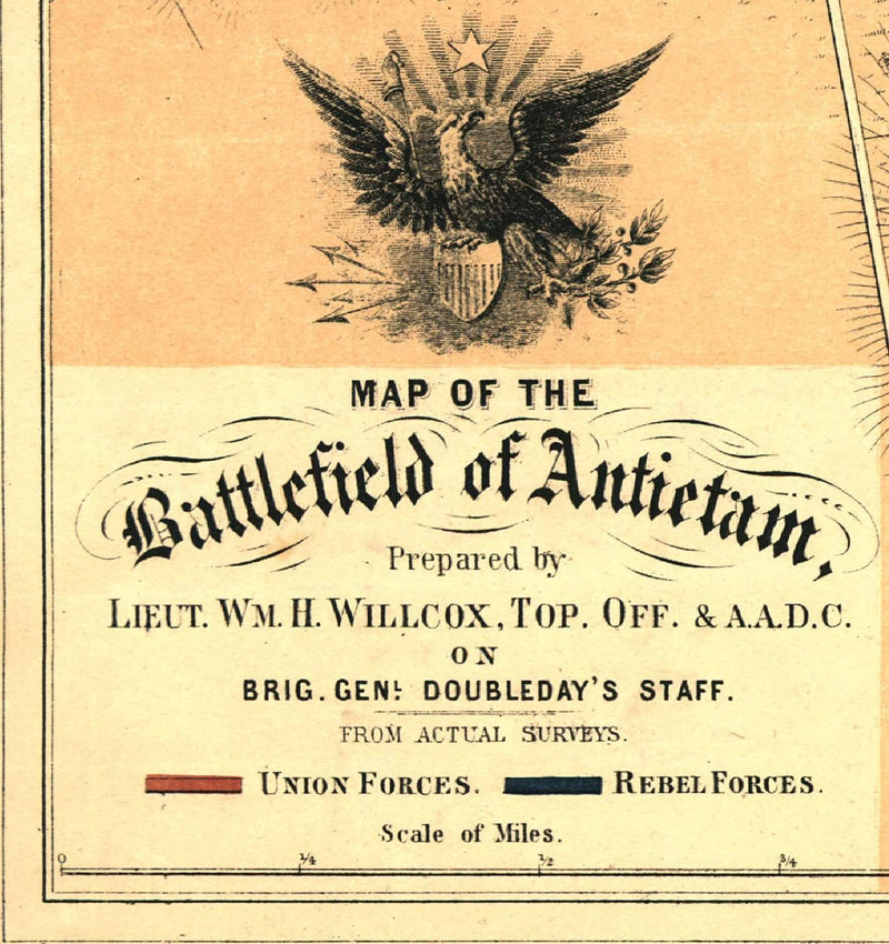

Antietam Color Battle Map
The Battle of Antietam (or Sharpsburg) was fought northwest of Washington D.C. in Maryland between Lee and McClellan on from dawn until dusk on 17 September 1862. Combined dead, wounded, and missing were over 20,000 which makes 17 September the bloodiest day in American warfare.
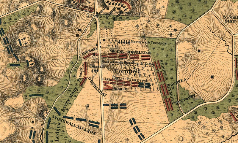
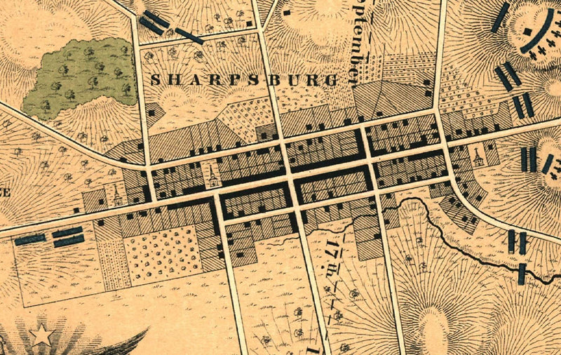
This map shows the location of units along with their commanders such as Lee, Jackson, Doubleday, McClellan, and Meade.
Result: Inconclusive
Created/Published: 1862
Dimensions (Width x Height): 19x24
Our printing is archive-quality.
Each map is printed using the finest materials and methods. Your map will be handled with white gloves from start to finish. We use the Giclee printing method on the finest paper, which produces a clear, extremely detailed, durable map that is perfect to be proudly displayed in your home or office.
About our framing:
- Non-glare acrylic to reduce reflection
- Dry mount to ensure your map is smooth and without wrinkles
- 1.5 inch, 4-ply white mat to accentuate your map
- Black, walnut brown, and natural frame color options to match any room
- Wire mounting
- Please note that we cannot refund or return custom framed maps. We can replace a damaged frame. If your frame is damaged, please use the Contact Us or email customercare@battlearchives.com
Digital watermark does not appear on your purchased map