



Fallujah, Iraq – 2009 U.S. Military Topographic Map
Fallujah, Iraq – 2009 U.S. Military Topographic Map
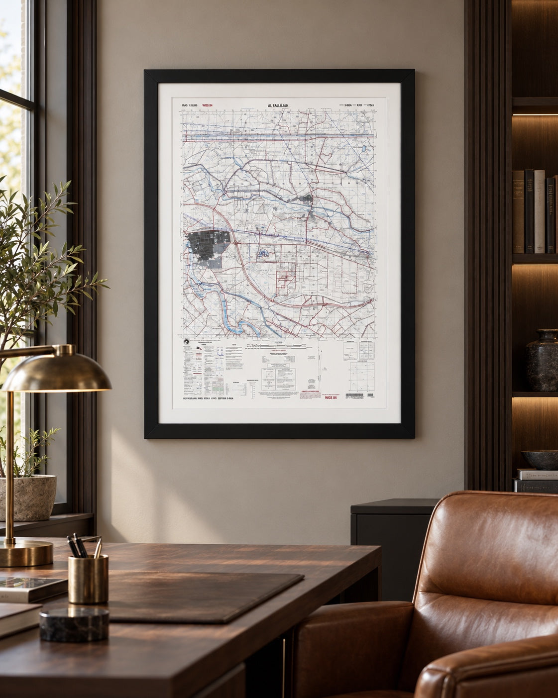
The Marines, soldiers and sailors who served in and around Fallujah will know this ground: a 1:50,000 U.S. military topographic map of Al Fallujah, Iraq (Series K743, Sheet 4756 I, Edition 3-NGA), prepared and published by the National Geospatial-Intelligence Agency in 2009, five years after the two battles for the city in 2004, and offered here as a museum-quality reproduction. The city sits at the left edge of the sheet beside the river, with the rail line along its north side and the highway cloverleaf to its east. The rest of the sheet covers the country east and north of the city as far as Al Karmah.
Historical Context
Fallujah lies on the Euphrates about 43 miles west of Baghdad, in Al Anbar Province. U.S. forces fought for the city twice in 2004: Operation Vigilant Resolve, from April 4 until it was halted on May 1, and Operation Phantom Fury, which opened on November 7 with Marine, Army and Iraqi units and continued into December. American units remained in and around the city for years afterward, working from bases to its east. This sheet belongs to that later period. It is a standard topographic map of the kind issued for land navigation and planning, and it shows the ground as the mapping agency recorded it after the fighting.
The Map’s Features
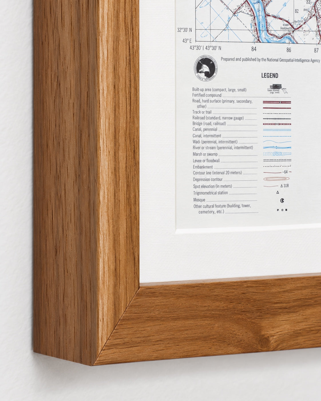
The built-up area is tinted gray and lettered with its district names, among them Hayy Nazzal, Hayy as Sina’ah, Hayy ash Shurtah and Hayy ad Dubbat. A numbered military grid covers the sheet, and the map is on the WGS 84 datum. Roads are drawn in red, with “Iraqi Republic Railways,” “4 lanes,” quarries, smokestacks, water towers, a cement processing plant and a transformer yard all labeled. East of the cloverleaf a walled compound with a lake is drawn with its walls and towers under the place name Aradi al Haswah, and to the northeast the sheet names Nahiyat al Karmah and the Nahr al Karmah. The lower margin carries the legend, scale bars, glossary, declination diagram, adjoining-sheets diagram and elevation guide.
Historical Significance
A 1:50,000 sheet is the working map of ground forces, and this one covers a city whose name is now part of Marine Corps and Army history. For those who served there, its value is recognition: the districts by name, the cloverleaf, the rail line, the road east. For students of the 2004 battles, it sets the city and its approaches on a measured grid. It is a record of the ground, not of the fighting: it shows no units, phase lines or objectives.
Framing Options
This map is available unframed or professionally framed and ready to hang. Our framing partner uses museum-quality materials to protect and present your map for long-term display. Choose from a classic Black frame or a warm Walnut Brown frame — both available with your order. Please allow 3–4 weeks for delivery on framed orders.
Museum-Quality Reproduction
This is a high-quality reproduction of the original historic map, professionally printed on premium archival paper using the Giclée printing process to preserve fine cartographic detail, line clarity, and period authenticity for long-term display.
Perfect For:
- Veterans of Operation Iraqi Freedom who served in Fallujah or Al Anbar Province
- Marine Corps, Army and Navy families honoring that service
- Students of the 2004 battles and of modern urban warfare
- Collectors of U.S. military topographic maps
- Offices, studies and unit spaces
Specifications:
- Depicts: Fallujah and the country east of it to Al Karmah, Al Anbar Province, Iraq; ground of the First (April 4 – May 1, 2004) and Second (November 7 – December 23, 2004) Battles of Fallujah
- Conflict: Iraq War (Operation Iraqi Freedom)
- Original Publication: 2009
- Publisher: National Geospatial-Intelligence Agency
- Style: U.S. military topographic map, Series K743, Sheet 4756 I, Edition 3-NGA
- Original Scale: 1:50,000
- Product Type: Giclée reproduction on premium archival paper
- Printed In: Rochester Hills, Michigan
Dimensions (Width x Height): 22.5 x 30.3 inches (57.2 x 77 cm)
Each map is printed using the finest materials and methods. Your map will be handled with white gloves from start to finish. We use the Giclée printing method on premium archival paper, which produces a clear, extremely detailed, durable map perfect for proud display in your home or office.
Choose options
