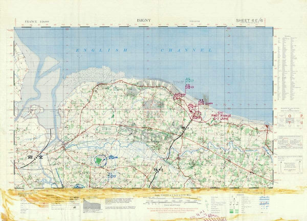
Okinawa Invasion of Ie Shima Battle Map
The Battle of Okinawa (Operation Iceberg) was fought from April to June, 1945. The amphibious landings at the outset of the battle was the largest amphibious assault of the Pacific War. Okinawa was the last stop on the Allied island hopping campaign before getting to the Japanese main islands. The US took over 50,000 casualties in the battle.
This map is of Ie Shima (now called Iejima), just off the coast of Okinawa. There was a five day battle on the island from 16-21 April. It is most commonly known as where famed war reporter Ernie Pyle was killed by a Japanese machine gunner.
Result: American Victory
Published: 1945
Scale: 50,000
Dimensions (Width x Height): 20.8x14.2
Each map is printed using the finest materials and methods. Your map will be handled with white gloves from start to finish. We use the Giclee printing method on Hahnemuhle paper, which produces a clear, extremely detailed, durable map that is perfect to be proudly displayed in your home or office.
Digital watermark does not appear on your purchased map.