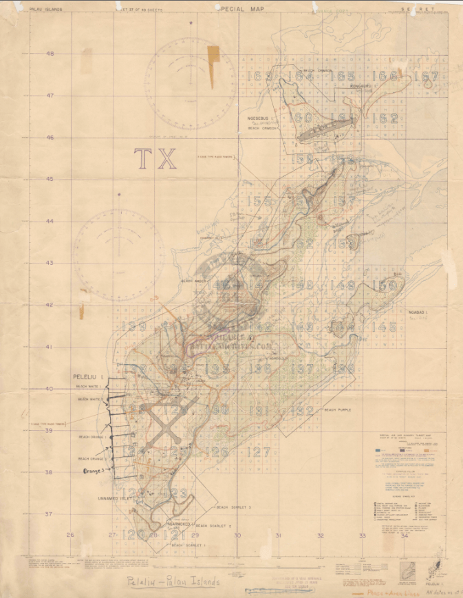
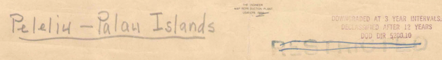
Peleliu Landing Beaches and Front Lines – 1944 Battle Map
Peleliu Landing Beaches and Front Lines – 1944 Battle Map
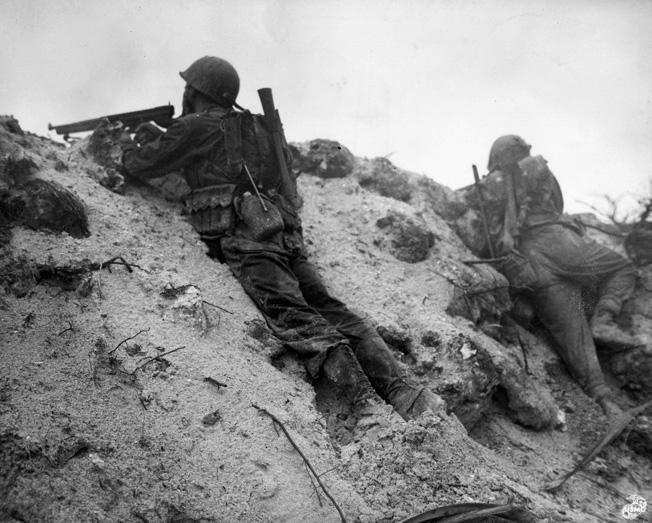
The Battle of Peleliu was fought from September 15 to November 27, 1944, on the small island of Peleliu in the Palau island chain, east of the Philippines. Originally expected to last only a few days, the battle stretched into a grueling two-and-a-half-month campaign marked by some of the fiercest fighting of the Pacific War. Approximately 50,000 U.S. Marines and Army soldiers fought to secure the island, suffering heavy casualties in the process.
Historical Context Peleliu was part of the broader Allied strategy to secure airfields and eliminate Japanese strongholds in preparation for operations in the Philippines. Japanese defenders employed deeply entrenched cave systems and fortified ridgelines, shifting away from traditional beach defenses and prolonging the battle far beyond initial expectations.
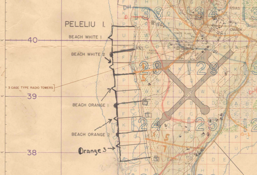
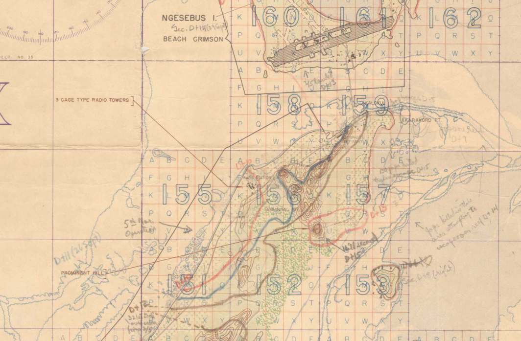
The Map’s Features This detailed operational map shows the landing beaches used by American forces and traces the progression of front lines as U.S. units pushed northward across the island. Key terrain features, defensive positions, and shifting combat zones are clearly illustrated, providing a visual record of how the battle unfolded.
Historical Significance Though often overshadowed by larger engagements in the Pacific, Peleliu remains one of the most intense and costly island battles of World War II. This map preserves the tactical geography of the fight, documenting both the amphibious landings and the slow, determined advance inland.
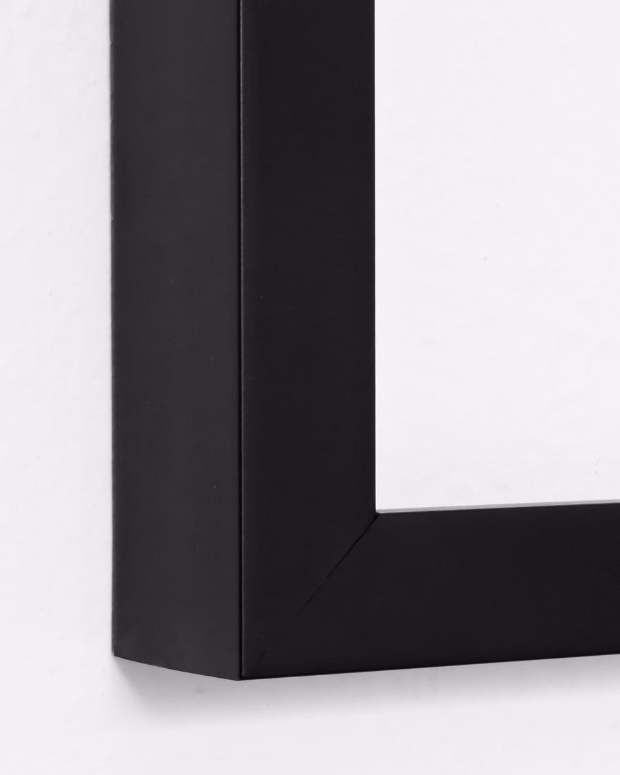
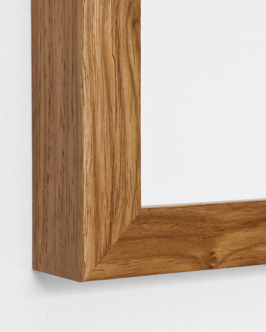
Framing Options This map is available unframed or professionally framed and ready to hang. Choose from a classic Black Frame or a warm Walnut Brown Frame, each matted with 4-ply white archival mat board and finished with non-glare acrylic glazing for a clean, museum-style presentation. Framed orders are professionally assembled and shipped directly to your door. Please allow 3–4 weeks for delivery on framed orders.
Museum-Quality Reproduction This is a high-quality reproduction of the original World War II battle map, professionally printed on archival Hahnemühle paper using the Giclée printing process to preserve fine cartographic detail, line clarity, and period accuracy for long-term display.
Perfect For:
• U.S. Marine Corps veterans and families
• Pacific War historians and collectors
• Students of amphibious warfare
• Offices, studies, and veteran memorial spaces
• Gifts honoring service in World War II
Specifications:
• Original Publication: Unknown
• Style: Amphibious landing and front line progression map
• Battle/Conflict: Battle of Peleliu (World War II)
• Battle Result: American Victory
• Product Type: High-Quality Reproduction Print
Dimensions (Width x Height): 20 x 26.3
Each map is printed using the finest materials and methods. Your map will be handled with white gloves from start to finish. We use the Giclée printing method on Hahnemühle paper, which produces a clear, extremely detailed, durable map perfect for proud display in your home or office.
Digital watermark does not appear on your purchased map
Choose options
