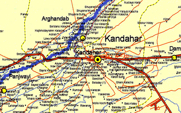
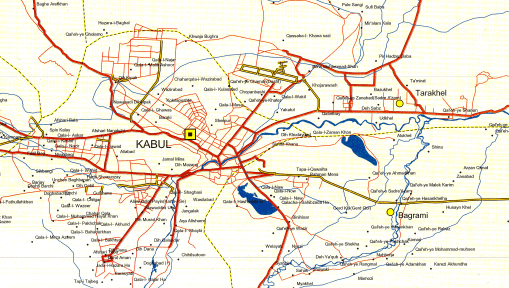
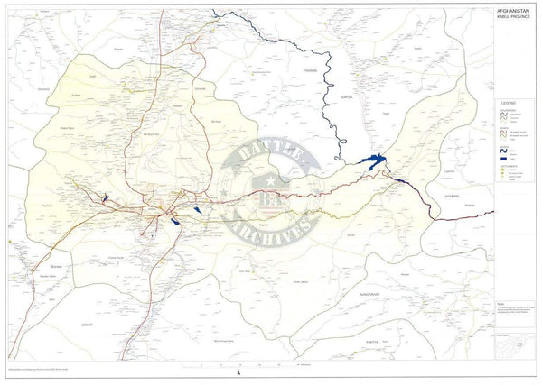
Helmand Province, Afghanistan 2003 Provincial Map
Helmand Province, Afghanistan is the largest province in the country by size. It is located in the south central part of the country, to the west of Kandahar province and east of Nimruz province. Helmand is bordered to the south by Pakistan. After the troop surge of 2009, US Marines held main responsibility for operations in the province. Note the mapmaker called it "Hilmand" Province, which is an less known but accepted way of spelling.
Created/Published: 2003
Dimensions (Width x Height): 22.5x31.1
Our printing is archive-quality.
Each map is printed using the finest materials and methods. Your map will be handled with white gloves from start to finish. We use the Giclee printing method on the finest paper, which produces a clear, extremely detailed, durable map that is perfect to be proudly displayed in your home or office.
About our framing:
- Non-glare acrylic to reduce reflection
- Dry mount to ensure your map is smooth and without wrinkles
- 1.5 inch, 4-ply white mat to accentuate your map
- Black, light walnut, and natural frame color options to match any room
- Wire mounting
- Please note that we cannot refund or return custom framed maps. We can replace a damaged frame. If your frame is damaged, please use the Contact Us or email customercare@battlearchives.com
(Digital watermark does not appear on your purchased map.)