

Ardennes Counteroffensive – 16 December 1944 Front Lines Battle Map
Ardennes Counteroffensive – 16 December 1944 Front Lines Battle Map
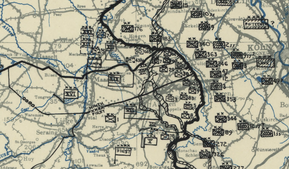
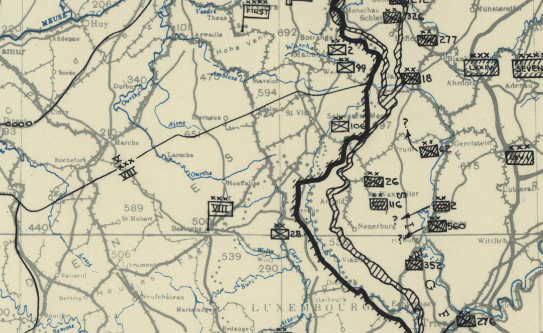
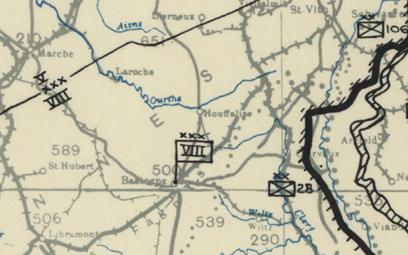
On 16 December 1944, German forces launched their last major offensive in the West—Operation Watch on the Rhine—igniting what would become known as the Battle of the Bulge. This operational map captures the situation at 1200 hours on the first day of the assault, showing Allied and German front lines at the moment the surprise offensive began across the Ardennes.
Historical Context The Ardennes Counteroffensive (December 1944–January 1945) was Hitler’s final attempt to split Allied forces and force a negotiated peace in the West. The objective was ambitious: drive through Belgium, cross the Meuse River, seize Antwerp, and divide British and American armies. Although German forces achieved initial breakthroughs, determined Allied resistance, harsh winter conditions, and rapid reinforcements ultimately halted the advance. By late January 1945, German forces had been pushed back to their original lines.
The Map’s Features This detailed battlefield map shows front lines as of 16 December 1944, distinguishing U.S., British, and enemy positions. Road networks, rivers, towns, and key terrain features provide operational context for the German breakthrough. The map preserves the exact moment before the “bulge” in Allied lines fully developed, offering a precise snapshot of the offensive’s opening phase.
Historical Significance The first day of the Ardennes offensive marked the beginning of the largest and bloodiest battle fought by the United States Army in World War II. The outcome sealed Germany’s inability to mount further large-scale offensives in the West and accelerated the Allied advance into the heart of Germany.
Museum-Quality Reproduction This is a high-quality reproduction of the original 1944 operational battle map, professionally printed on archival Hahnemühle paper using the Giclée printing process to preserve fine linework and wartime detail for long-term display.
Perfect For:
• World War II history enthusiasts
• Military history collectors
• Veterans and active-duty service members
• Offices, studies, and history-focused spaces
• Gifts honoring the European Theater
Specifications:
• Battle: Ardennes Counteroffensive (Battle of the Bulge)
• Date of Engagement: 16 December 1944
• Battle Result: Allied Victory
• Created/Published: 1944
• Product Type: High-Quality Reproduction Print
Dimensions (Width x Height, inches): 20.1 x 18
Each map is printed using the finest materials and methods. Your map will be handled with white gloves from start to finish. We use the Giclée printing method on Hahnemühle paper, producing a clear, extremely detailed, durable map perfect for proud display in your home or office.
Choose options
