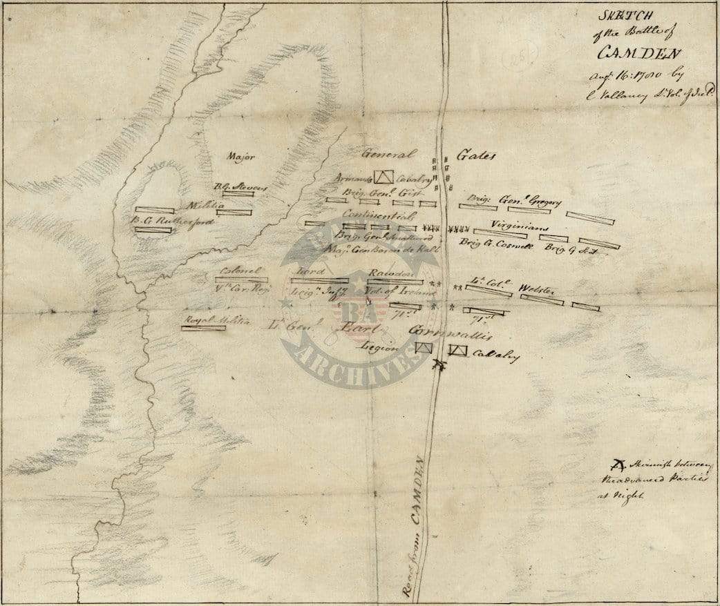
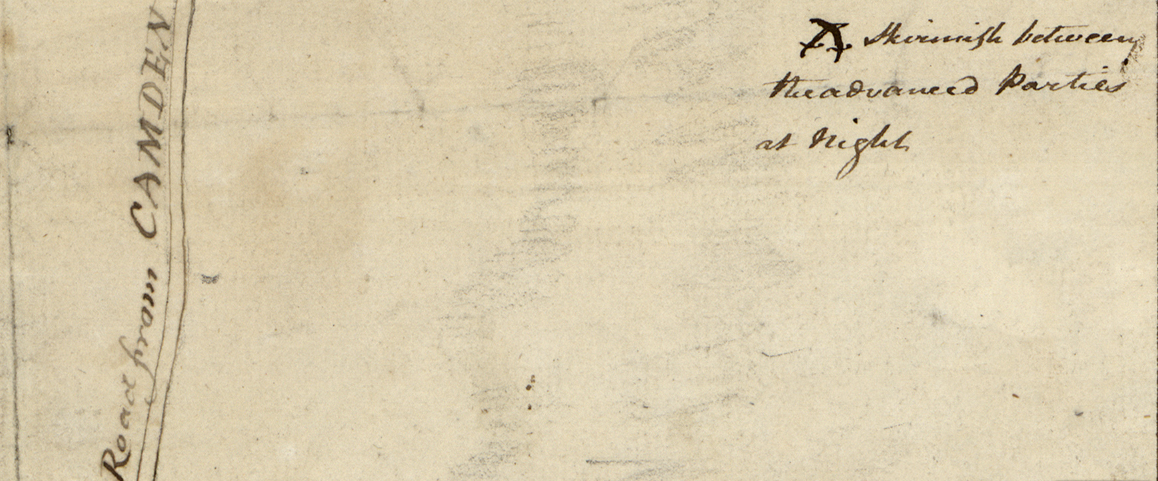
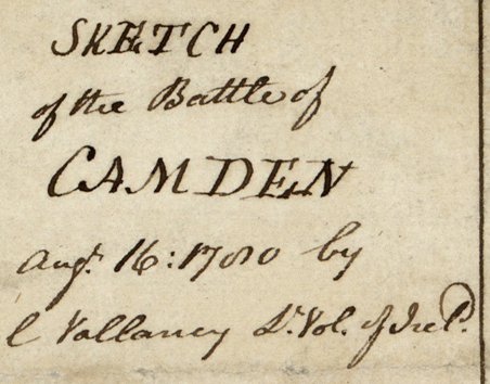
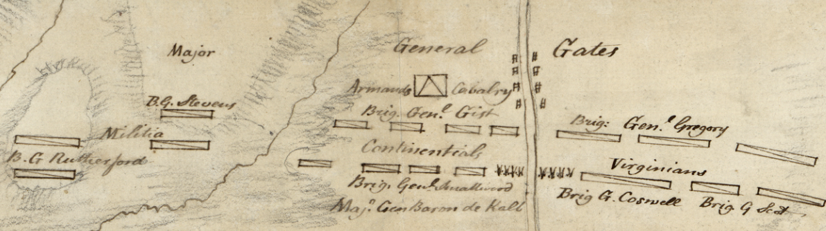
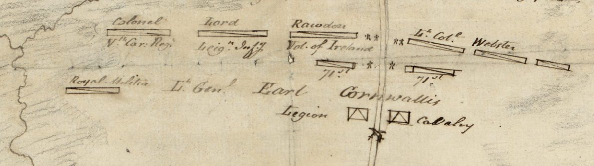
Camden, South Carolina 1780 Sketch Battle Map
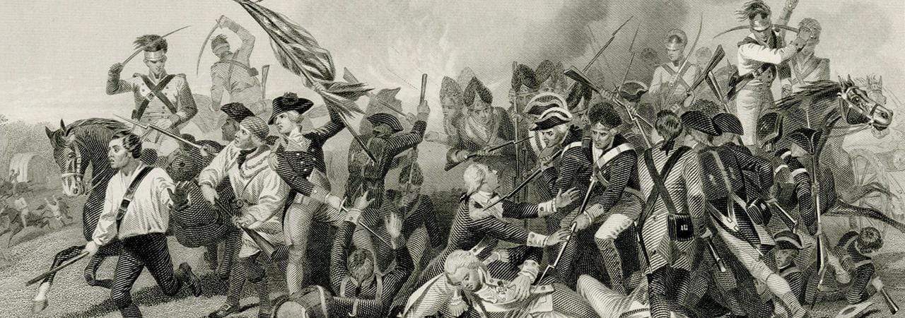
The Battle of Camden was fought in August of 1780, northeast of Columbia, South Carolina. Cornwallis, outnumbered almost 2 to 1, completely routed the Americans commanded by Gates.
This British map is a sketch of the battlefield by Charles Vallancey showing unit locations and commanders as they met head on.
Result: British Victory
Published: 1780
Dimensions (Width x Height): 12.1x10.3
Each map is printed using the finest materials and methods. Your map will be handled with white gloves from start to finish. We use the Giclee printing method on Hahnemuhle paper, which produces a clear, extremely detailed, durable map that is perfect to be proudly displayed in your home or office.
Digital watermark does not appear on your purchased map.
Choose options
