
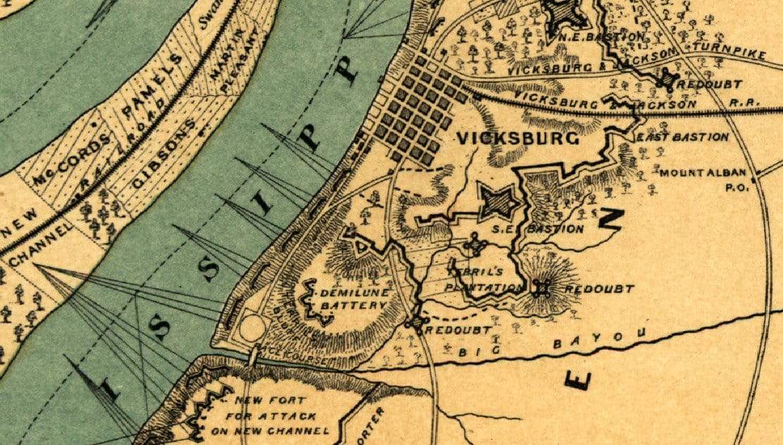


Vicksburg, Mississippi 1863 Fortifications Battle Map
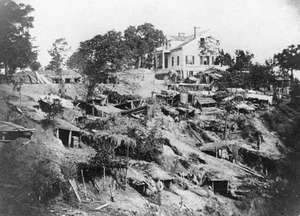
The Siege of Vicksburg was the final battle in the Union's attempt to capture the Mississippi River. Grant captured the fortress on 4 July 1863. By controlling the entire Mississippi River, Louisiana, Arkansas, and Texas were effectively cut off from the rest of the Confederacy.
Map titled "Vicksburg And It's Defenses" shows fortifications along the river and their fields of fire.
Result: Union Victory
Created/Published: 1863
Scale: 72,500
Dimensions (Width x Height): 7.1x10.1
Our printing is archive-quality.
Each map is printed using the finest materials and methods. Your map will be handled with white gloves from start to finish. We use the Giclee printing method on the finest paper, which produces a clear, extremely detailed, durable map that is perfect to be proudly displayed in your home or office.
About our framing:
- Non-glare acrylic to reduce reflection
- Dry mount to ensure your map is smooth and without wrinkles
- 1.5 inch, 4-ply white mat to accentuate your map
- Black, walnut brown, and natural frame color options to match any room
- Wire mounting
- Please note that we cannot refund or return custom framed maps. We can replace a damaged frame. If your frame is damaged, please use the Contact Us or email customercare@battlearchives.com
Digital watermark does not appear on your purchased map
Choose options
